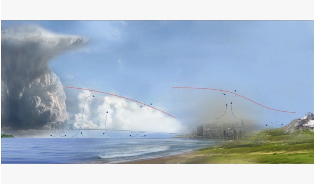
MIT researchers proposed working with deep learning to address the challenges of understanding and accurately modeling the planetary boundary layer (PBL) to improve weather forecasting and climate projections and deal with issues like droughts. The current technology struggles to resolve important features of the PBL, such as its height, which significantly impacts weather and climate near the Earth’s surface. Therefore, there’s an urgent need to develop better methods for imaging and analyzing the PBL to enhance our understanding of atmospheric processes.
Current operational algorithms for analyzing the atmosphere, including the PBL, utilize shallow neural networks to retrieve temperature and humidity data from satellite instrument measurements. These methods work to some extent, but they can not solve very complicated PBL structures. To address this, researchers from Lincoln Laboratory want to use deep learning techniques, treating the atmosphere over a region of interest as a three-dimensional image. This approach aims to improve the statistical representation of 3D temperature and humidity imagery to provide more accurate and detailed information about the PBL. According to the researchers, they can better understand the complicated dynamics of the PBL by using newer deep learning and artificial intelligence (AI) techniques.
The proposed methodology involves creating a dataset comprising a mix of real and simulated data to train deep learning models for imaging the PBL. Collaborating with NASA, the researchers demonstrate that these newer retrieval algorithms based on deep learning can enhance PBL detail, including more accurate determination of PBL height compared to previous methods. Furthermore, the deep learning approach shows promise for improving drought prediction, a critical application that requires an understanding of PBL dynamics. By combining operational work with NASA’s Jet Propulsion Laboratory and focusing on neural network techniques, the researchers aim to further refine drought prediction models over the continental United States.
In conclusion, the paper attempts to answer the critical need for improved methods for imaging and analyzing the planetary boundary layer (PBL) to improve weather forecasting, climate projections, and drought prediction. The proposed approach, leveraging deep learning techniques, shows promise in overcoming current limitations and providing more accurate and detailed information about PBL dynamics. By incorporating a mix of real and simulated data and collaborating with NASA, the researchers demonstrate the potential for significantly advancing our understanding of the PBL and its impact on various atmospheric processes.
The post MIT Researchers Use Deep Learning to Get a Better Picture of the Atmospheric Layer Closest to Earth’s Surface: Improving Weather and Drought Prediction appeared first on MarkTechPost.
Source: Read MoreÂ

